Western end of Station Road, Kenilworth
Introduction
The photograph on this page of Western end of Station Road, Kenilworth by Robin Stott as part of the Geograph project.
The Geograph project started in 2005 with the aim of publishing, organising and preserving representative images for every square kilometre of Great Britain, Ireland and the Isle of Man.

There are currently over 7.5m images from over 14,400 individuals and you can help contribute to the project by visiting https://www.geograph.org.uk
Western end of Station Road, Kenilworth
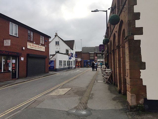
Image: © Robin Stott Taken: 15 Oct 2019
Ahead is the main shopping street Warwick Road or its continuation The Square. The sandstone building on the right is a café-bar, Pomeroy's. On the left was the site of the extensive Tannery.
Images are licensed for reuse under creativecommons.org/licenses/by-sa/2.0
Image Location


Leaflet Map data © OpenStreetMap
Latitude
52.342627
Longitude
-1.578977