Benchmark on Thai Teak Building
Introduction
The photograph on this page of Benchmark on Thai Teak Building by Becky Williamson as part of the Geograph project.
The Geograph project started in 2005 with the aim of publishing, organising and preserving representative images for every square kilometre of Great Britain, Ireland and the Isle of Man.

There are currently over 7.5m images from over 14,400 individuals and you can help contribute to the project by visiting https://www.geograph.org.uk
Benchmark on Thai Teak Building
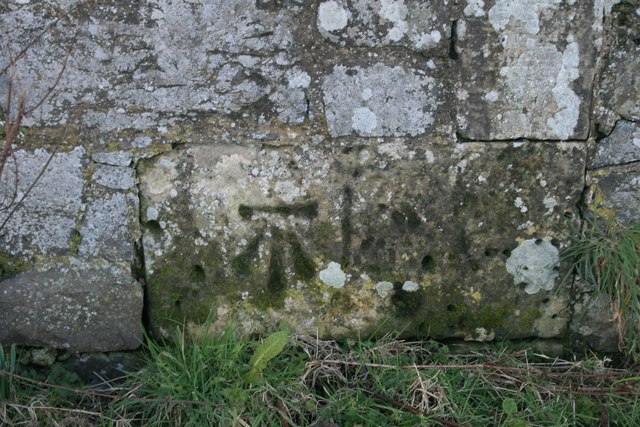
Image: © Becky Williamson Taken: 29 Feb 2020
Formerly known as Muirhead Farm. This attractive Ordnance Survey benchmark is described on the database at https://www.bench-marks.org.uk/bm116970. See also Image
Images are licensed for reuse under creativecommons.org/licenses/by-sa/2.0
Image Location
Latitude
56.359926
Longitude
-2.941104