#138 Wilford Grove at Holgate Road junction
Introduction
The photograph on this page of #138 Wilford Grove at Holgate Road junction by Luke Shaw as part of the Geograph project.
The Geograph project started in 2005 with the aim of publishing, organising and preserving representative images for every square kilometre of Great Britain, Ireland and the Isle of Man.

There are currently over 7.5m images from over 14,400 individuals and you can help contribute to the project by visiting https://www.geograph.org.uk
#138 Wilford Grove at Holgate Road junction
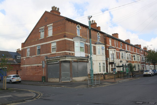
Image: © Luke Shaw Taken: 11 May 2019
Ordnance Survey records show that in 1962 a benchmark levelled at 25.524m above Newlyn Datum was present at the centre of the left hand face of the building, possibly now hidden behind the green cabinet
Images are licensed for reuse under creativecommons.org/licenses/by-sa/2.0
Image Location
Latitude
52.939473
Longitude
-1.145862