Woodland in Baldersdale
Introduction
The photograph on this page of Woodland in Baldersdale by Christine Johnstone as part of the Geograph project.
The Geograph project started in 2005 with the aim of publishing, organising and preserving representative images for every square kilometre of Great Britain, Ireland and the Isle of Man.

There are currently over 7.5m images from over 14,400 individuals and you can help contribute to the project by visiting https://www.geograph.org.uk
Woodland in Baldersdale
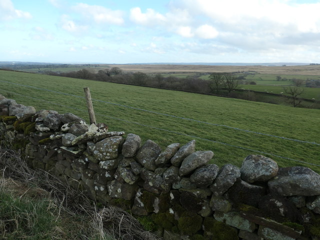
Image: © Christine Johnstone Taken: 29 Feb 2020
Along a tributary of the River Balder.
Images are licensed for reuse under creativecommons.org/licenses/by-sa/2.0
Image Location
Latitude
54.57637
Longitude
-2.0521