River Callan Valley
Introduction
The photograph on this page of River Callan Valley by Sean Davis as part of the Geograph project.
The Geograph project started in 2005 with the aim of publishing, organising and preserving representative images for every square kilometre of Great Britain, Ireland and the Isle of Man.

There are currently over 7.5m images from over 14,400 individuals and you can help contribute to the project by visiting https://www.geograph.org.uk
River Callan Valley
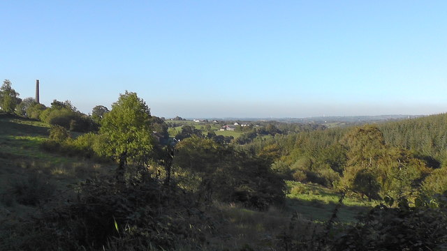
Image: © Sean Davis Taken: 20 Sep 2019
Looking out over the upper end of the River Callan Valley from Upper Darkley Road. On the left of the photo is the chimney of Darkley Mill and on the right is the north-western side of Darkley Forest.
Images are licensed for reuse under creativecommons.org/licenses/by-sa/2.0
Image Location
Latitude
54.222541
Longitude
-6.674356