Plungar, Leicestershire
Introduction
The photograph on this page of Plungar, Leicestershire by Kate Jewell as part of the Geograph project.
The Geograph project started in 2005 with the aim of publishing, organising and preserving representative images for every square kilometre of Great Britain, Ireland and the Isle of Man.

There are currently over 7.5m images from over 14,400 individuals and you can help contribute to the project by visiting https://www.geograph.org.uk
Plungar, Leicestershire
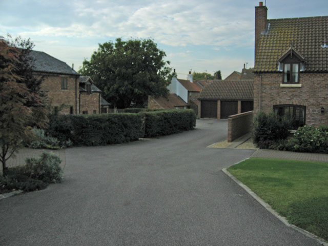
Image: © Kate Jewell Taken: 10 Oct 2005
This village boasts some well designed new housing integrated seamlessly into the old village structure. Here is a new build on the right, converted barns on the left and old cottages behind the garages.
Images are licensed for reuse under creativecommons.org/licenses/by-sa/2.0
Image Location
Latitude
52.897068
Longitude
-0.859788