Footpath in Seaton
Introduction
The photograph on this page of Footpath in Seaton by Nigel Mykura as part of the Geograph project.
The Geograph project started in 2005 with the aim of publishing, organising and preserving representative images for every square kilometre of Great Britain, Ireland and the Isle of Man.

There are currently over 7.5m images from over 14,400 individuals and you can help contribute to the project by visiting https://www.geograph.org.uk
Footpath in Seaton
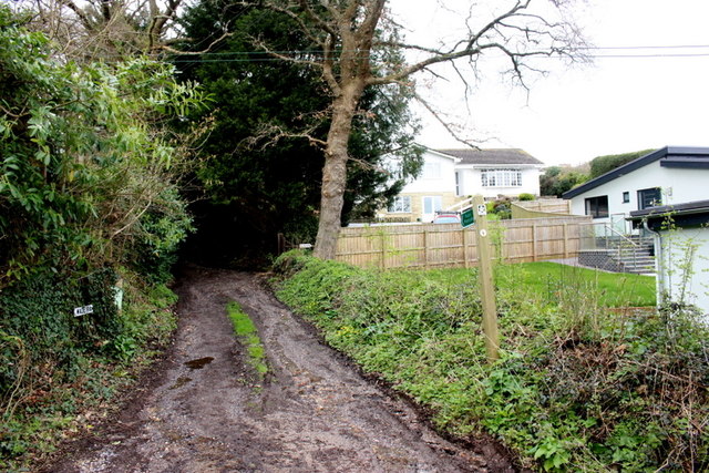
Image: © Nigel Mykura Taken: 6 Mar 2020
This is the start of the footpath on Couchill Lane. The houses beyond are in Churston Rise. The footpath soon joins another path that runs from the Beer Rd up to Seaton Down Hill.
Images are licensed for reuse under creativecommons.org/licenses/by-sa/2.0
Image Location
Latitude
50.709806
Longitude
-3.08425