Vista of the valley of Ebrie Burn...
Introduction
The photograph on this page of Vista of the valley of Ebrie Burn... by Bill Harrison as part of the Geograph project.
The Geograph project started in 2005 with the aim of publishing, organising and preserving representative images for every square kilometre of Great Britain, Ireland and the Isle of Man.

There are currently over 7.5m images from over 14,400 individuals and you can help contribute to the project by visiting https://www.geograph.org.uk
Vista of the valley of Ebrie Burn...
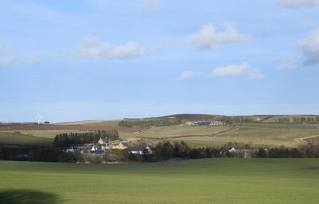
Image: © Bill Harrison Taken: 29 Feb 2020
...as seen from Savoch of Deer kirkyard. The cluster of buildings associated with the Mill of Elrck can be seen in the left centre and farther back to the right is Auchnavaird farm.
Images are licensed for reuse under creativecommons.org/licenses/by-sa/2.0
Image Location
Latitude
57.455019
Longitude
-2.109473