Road junction at Freewill House
Introduction
The photograph on this page of Road junction at Freewill House by Christine Johnstone as part of the Geograph project.
The Geograph project started in 2005 with the aim of publishing, organising and preserving representative images for every square kilometre of Great Britain, Ireland and the Isle of Man.

There are currently over 7.5m images from over 14,400 individuals and you can help contribute to the project by visiting https://www.geograph.org.uk
Road junction at Freewill House
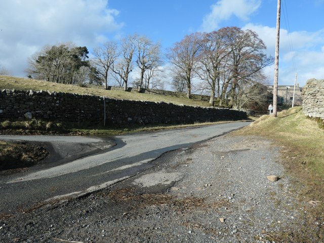
Image: © Christine Johnstone Taken: 29 Feb 2020
The gravelled verge allows drivers to turn from one narrow lane into the other. The route of the 'main road' [Briscoe Lane] is shown by the double row of trees.
Images are licensed for reuse under creativecommons.org/licenses/by-sa/2.0
Image Location
Latitude
54.569726
Longitude
-2.036624