Racarbry Townland
Introduction
The photograph on this page of Racarbry Townland by Sean Davis as part of the Geograph project.
The Geograph project started in 2005 with the aim of publishing, organising and preserving representative images for every square kilometre of Great Britain, Ireland and the Isle of Man.

There are currently over 7.5m images from over 14,400 individuals and you can help contribute to the project by visiting https://www.geograph.org.uk
Racarbry Townland
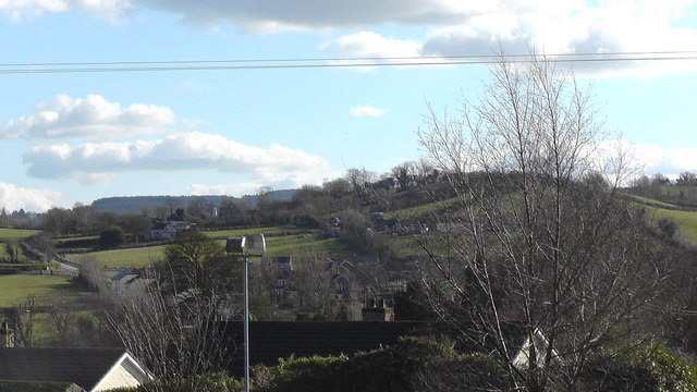
Image: © Sean Davis Taken: 4 Mar 2020
Looking across Racarbry Townland from Tassagh Road at Annvale. You can see Rathmoyle Park, the crossroads at Caramoyle. Also, in the distance, on the horizon is Darkley Forest.
Images are licensed for reuse under creativecommons.org/licenses/by-sa/2.0
Image Location
Latitude
54.249037
Longitude
-6.689217