Worplesdon United Reformed Church
Introduction
The photograph on this page of Worplesdon United Reformed Church by Colin Smith as part of the Geograph project.
The Geograph project started in 2005 with the aim of publishing, organising and preserving representative images for every square kilometre of Great Britain, Ireland and the Isle of Man.

There are currently over 7.5m images from over 14,400 individuals and you can help contribute to the project by visiting https://www.geograph.org.uk
Worplesdon United Reformed Church
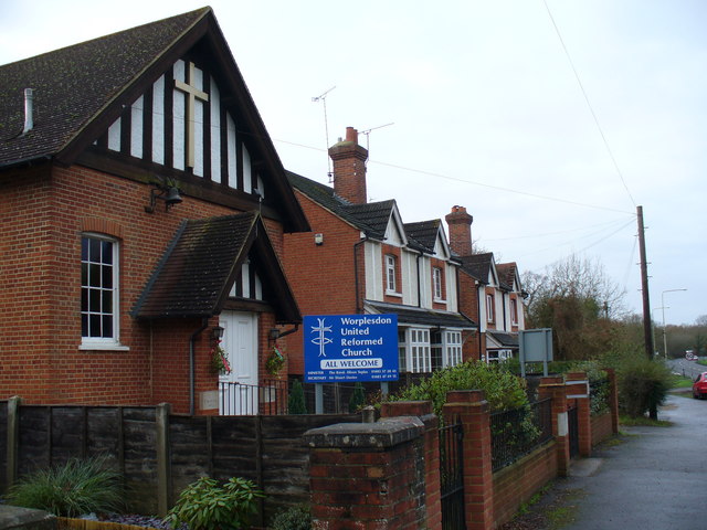
Image: © Colin Smith Taken: 26 Dec 2007
Re-use of a Victorian chapel on the Bagshot Road, north of Worplesdon.
Images are licensed for reuse under creativecommons.org/licenses/by-sa/2.0
Image Location
Latitude
51.279362
Longitude
-0.613673