Looking up the back road to Wakenwae...
Introduction
The photograph on this page of Looking up the back road to Wakenwae... by Bill Harrison as part of the Geograph project.
The Geograph project started in 2005 with the aim of publishing, organising and preserving representative images for every square kilometre of Great Britain, Ireland and the Isle of Man.

There are currently over 7.5m images from over 14,400 individuals and you can help contribute to the project by visiting https://www.geograph.org.uk
Looking up the back road to Wakenwae...
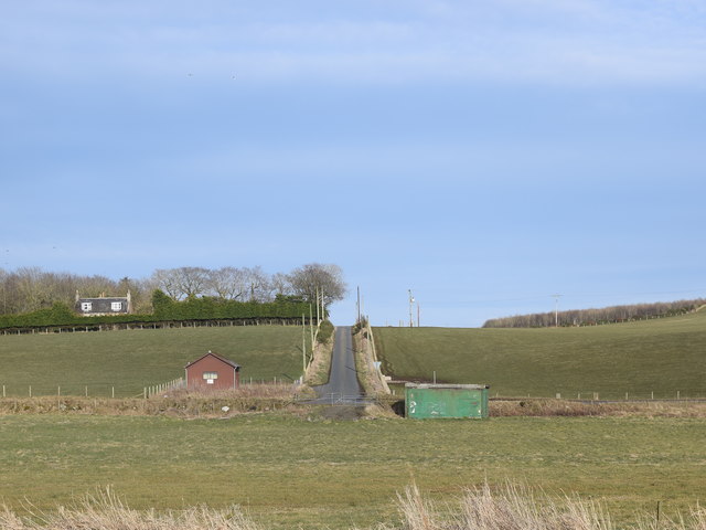
Image: © Bill Harrison Taken: 29 Feb 2020
...with West Gibseat farmhouse visible to the left. The brown shed at the junction is the village telephone exchange. 'Wakenwae' apparently means 'moss of the birch' according to Celtic Placenames in Aberdeenshire by John Milne.
Images are licensed for reuse under creativecommons.org/licenses/by-sa/2.0
Image Location
Latitude
57.46418
Longitude
-2.111001