Aberdeenshire field-scape?
Introduction
The photograph on this page of Aberdeenshire field-scape? by Bill Harrison as part of the Geograph project.
The Geograph project started in 2005 with the aim of publishing, organising and preserving representative images for every square kilometre of Great Britain, Ireland and the Isle of Man.

There are currently over 7.5m images from over 14,400 individuals and you can help contribute to the project by visiting https://www.geograph.org.uk
Aberdeenshire field-scape?
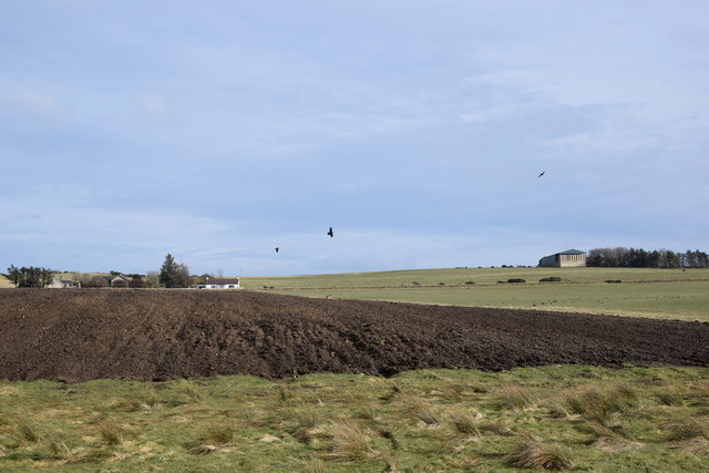
Image: © Bill Harrison Taken: 29 Feb 2020
...as seen from the Formartine and Buchan Way. Blacksmith's Croft is centre left and farther back to the right is a barn associated with Upper Auquhadlie farm. According to Celtic Placenames in Aberdeenshire by John Milne, 'auquhadlie' means a grey field.
Images are licensed for reuse under creativecommons.org/licenses/by-sa/2.0
Image Location
Latitude
57.442088
Longitude
-2.105603