Going round the bend...
Introduction
The photograph on this page of Going round the bend... by Bill Harrison as part of the Geograph project.
The Geograph project started in 2005 with the aim of publishing, organising and preserving representative images for every square kilometre of Great Britain, Ireland and the Isle of Man.

There are currently over 7.5m images from over 14,400 individuals and you can help contribute to the project by visiting https://www.geograph.org.uk
Going round the bend...
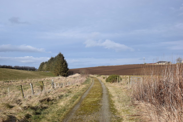
Image: © Bill Harrison Taken: 29 Feb 2020
...on the Formartine and Buchan Way as it emerges from a cutting into open countryside.
Images are licensed for reuse under creativecommons.org/licenses/by-sa/2.0
Image Location
Latitude
57.440736
Longitude
-2.11093