The new Ashton Theynes Estate, Long Ashton as seen from Church House
Introduction
The photograph on this page of The new Ashton Theynes Estate, Long Ashton as seen from Church House by Colin Park as part of the Geograph project.
The Geograph project started in 2005 with the aim of publishing, organising and preserving representative images for every square kilometre of Great Britain, Ireland and the Isle of Man.

There are currently over 7.5m images from over 14,400 individuals and you can help contribute to the project by visiting https://www.geograph.org.uk
The new Ashton Theynes Estate, Long Ashton as seen from Church House
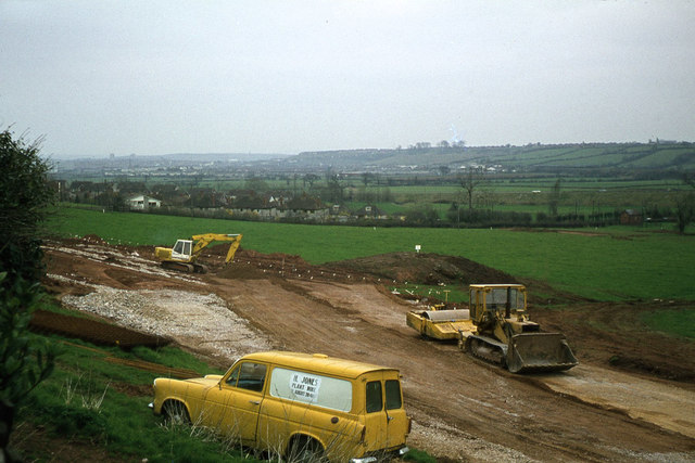
Image: © Colin Park Taken: 8 Apr 1978
The early stages of a new housing estate below Church House, Long Ashton.
Images are licensed for reuse under creativecommons.org/licenses/by-sa/2.0
Image Location
Latitude
51.431322
Longitude
-2.652725