The Hideaway
Introduction
The photograph on this page of The Hideaway by Ian Capper as part of the Geograph project.
The Geograph project started in 2005 with the aim of publishing, organising and preserving representative images for every square kilometre of Great Britain, Ireland and the Isle of Man.

There are currently over 7.5m images from over 14,400 individuals and you can help contribute to the project by visiting https://www.geograph.org.uk
The Hideaway
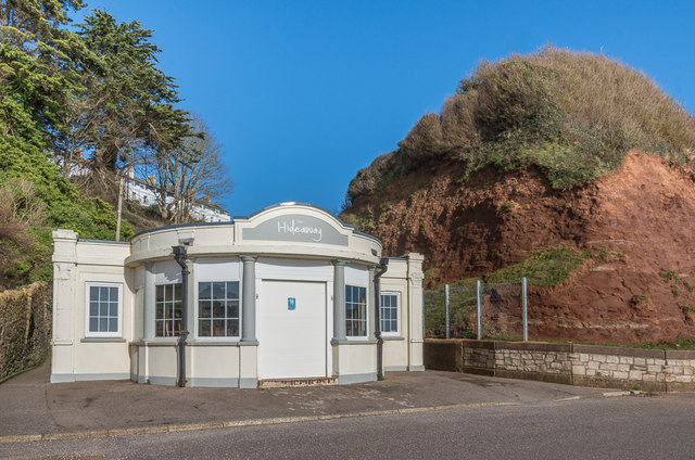
Image: © Ian Capper Taken: 8 Feb 2020
Small café at the foot of The Chine and at the end of West Walk. It first appears on the 1936 1:2,500 map, marked as a shelter, which is also the first appearance of West Walk as a hard-surfaced promenade.
Images are licensed for reuse under creativecommons.org/licenses/by-sa/2.0
Image Location
Latitude
50.702966
Longitude
-3.077068