Pennycroft Lane, Uttoxeter
Introduction
The photograph on this page of Pennycroft Lane, Uttoxeter by Richard Vince as part of the Geograph project.
The Geograph project started in 2005 with the aim of publishing, organising and preserving representative images for every square kilometre of Great Britain, Ireland and the Isle of Man.

There are currently over 7.5m images from over 14,400 individuals and you can help contribute to the project by visiting https://www.geograph.org.uk
Pennycroft Lane, Uttoxeter
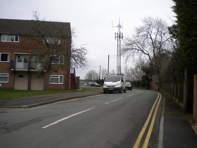
Image: © Richard Vince Taken: 22 Feb 2020
A cul de sac off Park Street that is also host to a public footpath that continues beyond the end of the road.
Images are licensed for reuse under creativecommons.org/licenses/by-sa/2.0
Image Location
Latitude
52.90453
Longitude
-1.86615