Fields and road near Stonebyres Farm
Introduction
The photograph on this page of Fields and road near Stonebyres Farm by Alec MacKinnon as part of the Geograph project.
The Geograph project started in 2005 with the aim of publishing, organising and preserving representative images for every square kilometre of Great Britain, Ireland and the Isle of Man.

There are currently over 7.5m images from over 14,400 individuals and you can help contribute to the project by visiting https://www.geograph.org.uk
Fields and road near Stonebyres Farm
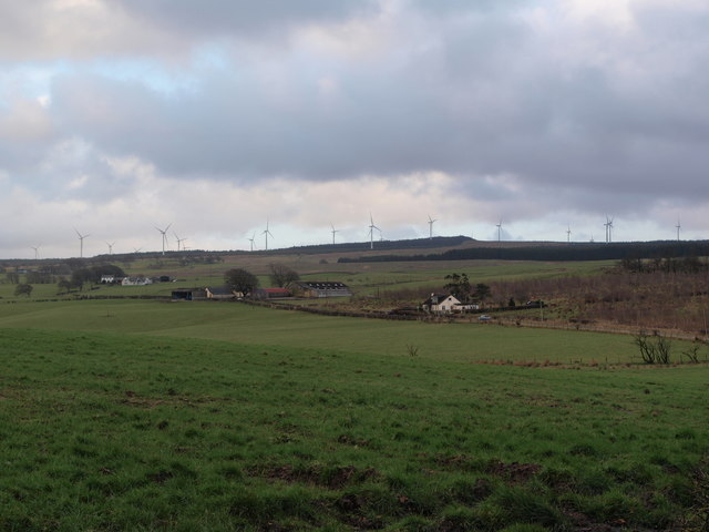
Image: © Alec MacKinnon Taken: 3 Mar 2020
The picture looks south from near Highcraig Cottage across the fields towards Stonebyres. A similar view is shown in Image, taken in 2006, the biggest difference probably being Whitelee Windfarm windmills that have appeared on the horizon in the interim.
Images are licensed for reuse under creativecommons.org/licenses/by-sa/2.0
Image Location
Latitude
55.71909
Longitude
-4.235092