Looking down Millhall Road
Introduction
The photograph on this page of Looking down Millhall Road by Alec MacKinnon as part of the Geograph project.
The Geograph project started in 2005 with the aim of publishing, organising and preserving representative images for every square kilometre of Great Britain, Ireland and the Isle of Man.

There are currently over 7.5m images from over 14,400 individuals and you can help contribute to the project by visiting https://www.geograph.org.uk
Looking down Millhall Road
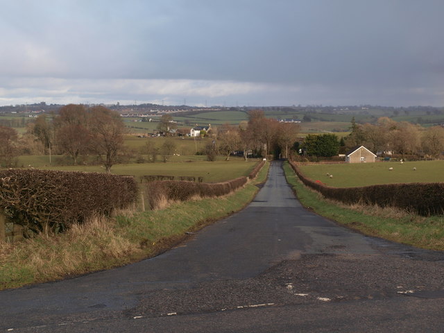
Image: © Alec MacKinnon Taken: 3 Mar 2020
The picture shows Millhall Road at its junction with Strahaven Road, the road that runs south from the village of Eaglesham. Despite the names people heading for Strathaven from Eaglesham would turn down Millhall Road.
Images are licensed for reuse under creativecommons.org/licenses/by-sa/2.0
Image Location
Latitude
55.732713
Longitude
-4.261674