Track along the edge of Bottom Copse
Introduction
The photograph on this page of Track along the edge of Bottom Copse by Tim Heaton as part of the Geograph project.
The Geograph project started in 2005 with the aim of publishing, organising and preserving representative images for every square kilometre of Great Britain, Ireland and the Isle of Man.

There are currently over 7.5m images from over 14,400 individuals and you can help contribute to the project by visiting https://www.geograph.org.uk
Track along the edge of Bottom Copse
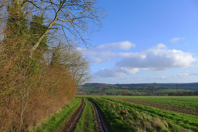
Image: © Tim Heaton Taken: 11 Feb 2020
The Wessex Ridgeway path heading south towards Wardour Castle (beneath the woods on the horizon)
Images are licensed for reuse under creativecommons.org/licenses/by-sa/2.0
Image Location
Latitude
51.055961
Longitude
-2.119087