Welches Meadow [2]
Introduction
The photograph on this page of Welches Meadow [2] by Michael Dibb as part of the Geograph project.
The Geograph project started in 2005 with the aim of publishing, organising and preserving representative images for every square kilometre of Great Britain, Ireland and the Isle of Man.

There are currently over 7.5m images from over 14,400 individuals and you can help contribute to the project by visiting https://www.geograph.org.uk
Welches Meadow [2]
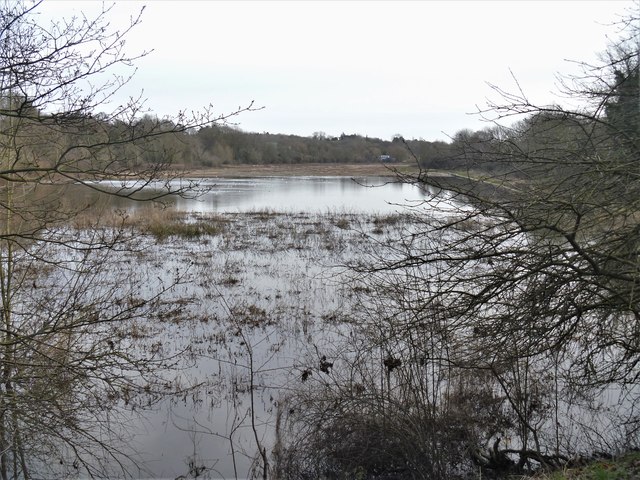
Image: © Michael Dibb Taken: 8 Feb 2020
The meadow is flooded in this view from Willes Road. Thought to have been created in the 1840s along the south bank of the River Leam as part of the flood defences of the town, the flood meadow is now a local nature reserve. The spa waters of Leamington Priors had been known in Roman times but it their rediscovery in 1784 led to their commercialisation with six new wells drilled. Rapid expansion followed and the town became Royal Leamington Spa after Queen Victoria granted use of the prefix in 1838. Renowned for its Regency architecture and spacious parks and ornamental gardens on either side of the River Leam, Leamington is today a residential and resort town.
Images are licensed for reuse under creativecommons.org/licenses/by-sa/2.0
Image Location
Latitude
52.288839
Longitude
-1.524509