Field below hospital and school
Introduction
The photograph on this page of Field below hospital and school by Trevor Littlewood as part of the Geograph project.
The Geograph project started in 2005 with the aim of publishing, organising and preserving representative images for every square kilometre of Great Britain, Ireland and the Isle of Man.

There are currently over 7.5m images from over 14,400 individuals and you can help contribute to the project by visiting https://www.geograph.org.uk
Field below hospital and school
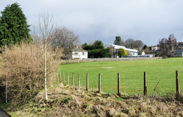
Image: © Trevor Littlewood Taken: 2 Mar 2020
Samuel King's School in Alston is slightly right of centre; the Ruth Lancaster James Hospital is largely out of view to the right of the image.
Images are licensed for reuse under creativecommons.org/licenses/by-sa/2.0
Image Location
Latitude
54.81004
Longitude
-2.441062