Clayport Pant
Introduction
The photograph on this page of Clayport Pant by Leanmeanmo as part of the Geograph project.
The Geograph project started in 2005 with the aim of publishing, organising and preserving representative images for every square kilometre of Great Britain, Ireland and the Isle of Man.

There are currently over 7.5m images from over 14,400 individuals and you can help contribute to the project by visiting https://www.geograph.org.uk
Clayport Pant
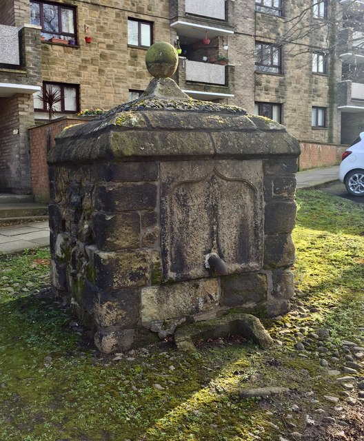
Image: © Leanmeanmo Taken: 2 Mar 2020
Ball has been replaced. Still no water. Can't imagine it won many prizes for architecture. For more information see Image
Images are licensed for reuse under creativecommons.org/licenses/by-sa/2.0
Image Location
Latitude
55.411664
Longitude
-1.710777