Stream south of bridleway
Introduction
The photograph on this page of Stream south of bridleway by Robin Webster as part of the Geograph project.
The Geograph project started in 2005 with the aim of publishing, organising and preserving representative images for every square kilometre of Great Britain, Ireland and the Isle of Man.

There are currently over 7.5m images from over 14,400 individuals and you can help contribute to the project by visiting https://www.geograph.org.uk
Stream south of bridleway
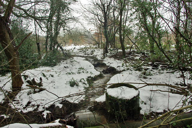
Image: © Robin Webster Taken: 15 Jan 2010
Looking upstream. The bridleway bridges the stream out of sight, in the foreground is a rather damaged culvert that seems to be intended for access to the land to the right of the stream, but long overgrown.
Images are licensed for reuse under creativecommons.org/licenses/by-sa/2.0
Image Location
Latitude
51.144284
Longitude
-0.008836