Near the end of Wadlands Brook Road
Introduction
The photograph on this page of Near the end of Wadlands Brook Road by Robin Webster as part of the Geograph project.
The Geograph project started in 2005 with the aim of publishing, organising and preserving representative images for every square kilometre of Great Britain, Ireland and the Isle of Man.

There are currently over 7.5m images from over 14,400 individuals and you can help contribute to the project by visiting https://www.geograph.org.uk
Near the end of Wadlands Brook Road
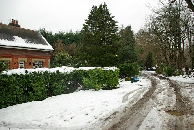
Image: © Robin Webster Taken: 15 Jan 2010
A bridleway towards Dormans Park turns right where the tracks of vehicles turning round are. Straight on is a dead-end.
Images are licensed for reuse under creativecommons.org/licenses/by-sa/2.0
Image Location
Latitude
51.145472
Longitude
-0.015219