Brack Hill and Belt Knowe above Darnhunch
Introduction
The photograph on this page of Brack Hill and Belt Knowe above Darnhunch by Alan O'Dowd as part of the Geograph project.
The Geograph project started in 2005 with the aim of publishing, organising and preserving representative images for every square kilometre of Great Britain, Ireland and the Isle of Man.

There are currently over 7.5m images from over 14,400 individuals and you can help contribute to the project by visiting https://www.geograph.org.uk
Brack Hill and Belt Knowe above Darnhunch
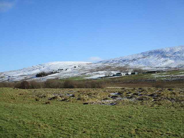
Image: © Alan O'Dowd Taken: 26 Feb 2020
Snow on the hills above Darnhunch has survived the thaw on lower ground.
Images are licensed for reuse under creativecommons.org/licenses/by-sa/2.0
Image Location
Latitude
55.532122
Longitude
-3.991687