River from Top Path at Annvale Glen
Introduction
The photograph on this page of River from Top Path at Annvale Glen by Sean Davis as part of the Geograph project.
The Geograph project started in 2005 with the aim of publishing, organising and preserving representative images for every square kilometre of Great Britain, Ireland and the Isle of Man.

There are currently over 7.5m images from over 14,400 individuals and you can help contribute to the project by visiting https://www.geograph.org.uk
River from Top Path at Annvale Glen
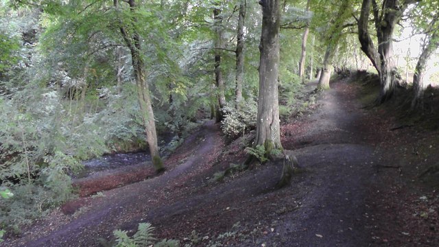
Image: © Sean Davis Taken: 17 Sep 2017
Clea River and river path from the top path in Annvale Glen, Keady, Armagh.
Images are licensed for reuse under creativecommons.org/licenses/by-sa/2.0
Image Location
Latitude
54.252839
Longitude
-6.694267