Swing bridge between Roath Basin and Roath Dock
Introduction
The photograph on this page of Swing bridge between Roath Basin and Roath Dock by Chris Allen as part of the Geograph project.
The Geograph project started in 2005 with the aim of publishing, organising and preserving representative images for every square kilometre of Great Britain, Ireland and the Isle of Man.

There are currently over 7.5m images from over 14,400 individuals and you can help contribute to the project by visiting https://www.geograph.org.uk
Swing bridge between Roath Basin and Roath Dock
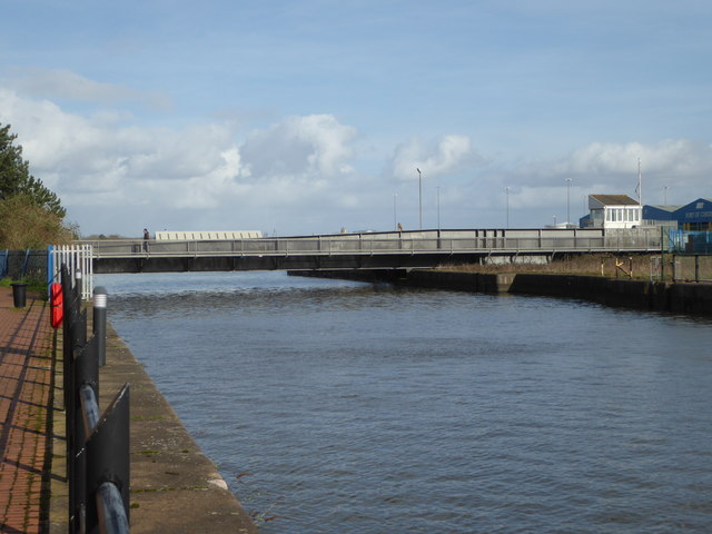
Image: © Chris Allen Taken: 26 Feb 2020
I suspect this bridge is now swung rarely if ever. Roath Dock beyond is still commercially active but the basin is partly adjoined by newly built accommodation and shows no signs of commercial activity. The lock at the opposite end of the basin (behind the photographer) is blocked by a stone dam.
Images are licensed for reuse under creativecommons.org/licenses/by-sa/2.0
Image Location
Latitude
51.46494
Longitude
-3.155464