Whitfield Parish Church
Introduction
The photograph on this page of Whitfield Parish Church by Mary Rodgers as part of the Geograph project.
The Geograph project started in 2005 with the aim of publishing, organising and preserving representative images for every square kilometre of Great Britain, Ireland and the Isle of Man.

There are currently over 7.5m images from over 14,400 individuals and you can help contribute to the project by visiting https://www.geograph.org.uk
Whitfield Parish Church
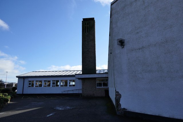
Image: © Mary Rodgers Taken: 25 Feb 2020
Built in 1970 Whitfield Parish Church has been serving the community for 50 years. The church is the base for many community led activities.
Images are licensed for reuse under creativecommons.org/licenses/by-sa/2.0
Image Location
Latitude
56.489465
Longitude
-2.919462