Tanner Row
Introduction
The photograph on this page of Tanner Row by DS Pugh as part of the Geograph project.
The Geograph project started in 2005 with the aim of publishing, organising and preserving representative images for every square kilometre of Great Britain, Ireland and the Isle of Man.

There are currently over 7.5m images from over 14,400 individuals and you can help contribute to the project by visiting https://www.geograph.org.uk
Tanner Row
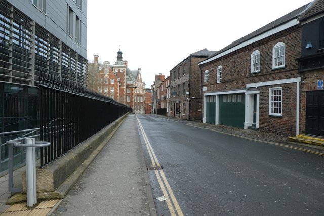
Image: © DS Pugh Taken: 22 Feb 2020
An area of York seeing much redevelopment with mixed use buildings appearing.
Images are licensed for reuse under creativecommons.org/licenses/by-sa/2.0
Image Location
Latitude
53.957843
Longitude
-1.08907