Thorneyknowe Quarry (disused)
Introduction
The photograph on this page of Thorneyknowe Quarry (disused) by Les Hull as part of the Geograph project.
The Geograph project started in 2005 with the aim of publishing, organising and preserving representative images for every square kilometre of Great Britain, Ireland and the Isle of Man.

There are currently over 7.5m images from over 14,400 individuals and you can help contribute to the project by visiting https://www.geograph.org.uk
Thorneyknowe Quarry (disused)
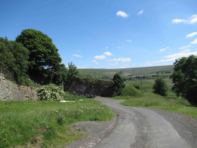
Image: © Les Hull Taken: 3 Jul 2019
Ideal for black rubbish sacks and wheelie bins, much easier for the bin lorries.
Images are licensed for reuse under creativecommons.org/licenses/by-sa/2.0
Image Location
Latitude
54.829274
Longitude
-2.251052