Northbound A1(M), Kirk Deighton Interchange
Introduction
The photograph on this page of Northbound A1(M), Kirk Deighton Interchange by David Dixon as part of the Geograph project.
The Geograph project started in 2005 with the aim of publishing, organising and preserving representative images for every square kilometre of Great Britain, Ireland and the Isle of Man.

There are currently over 7.5m images from over 14,400 individuals and you can help contribute to the project by visiting https://www.geograph.org.uk
Northbound A1(M), Kirk Deighton Interchange
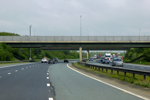
Image: © David Dixon Taken: 29 Apr 2019
Kirk Deighton Interchange is junction 46 of the A1(M). It opened in 2005 and the road to the south was originally all-purpose A1 until the road further south became a motorway in 2009 (https://www.sabre-roads.org.uk/wiki/index.php?title=Kirk_Deighton_Interchange SABRE).
Images are licensed for reuse under creativecommons.org/licenses/by-sa/2.0
Image Location
Latitude
53.943578
Longitude
-1.374275