Old Steading at Wester Alves
Introduction
The photograph on this page of Old Steading at Wester Alves by Anne Burgess as part of the Geograph project.
The Geograph project started in 2005 with the aim of publishing, organising and preserving representative images for every square kilometre of Great Britain, Ireland and the Isle of Man.

There are currently over 7.5m images from over 14,400 individuals and you can help contribute to the project by visiting https://www.geograph.org.uk
Old Steading at Wester Alves
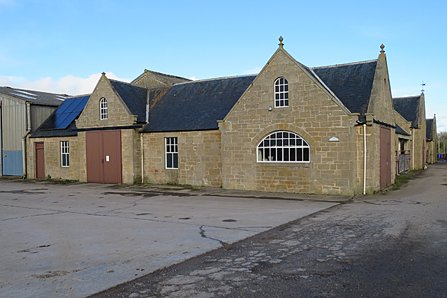
Image: © Anne Burgess Taken: 25 Feb 2020
A typical steading, consisting of a quadrangle entered by a central archway (on extreme right in this view). It has been partly converted to other uses including business premises.
Images are licensed for reuse under creativecommons.org/licenses/by-sa/2.0
Image Location
Latitude
57.643397
Longitude
-3.463936