Farmland west of Curdworth in Warwickshire
Introduction
The photograph on this page of Farmland west of Curdworth in Warwickshire by Roger Kidd as part of the Geograph project.
The Geograph project started in 2005 with the aim of publishing, organising and preserving representative images for every square kilometre of Great Britain, Ireland and the Isle of Man.

There are currently over 7.5m images from over 14,400 individuals and you can help contribute to the project by visiting https://www.geograph.org.uk
Farmland west of Curdworth in Warwickshire
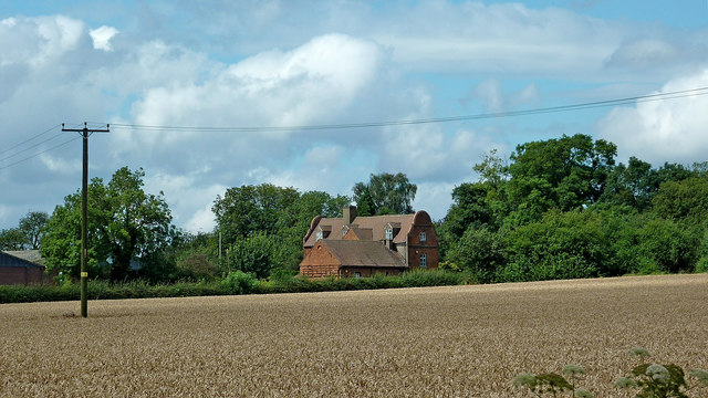
Image: © Roger Kidd Taken: 20 Aug 2012
This telephoto assisted image was taken from the Birmingham and Fazeley Canal shows Wiggins Hill Farm (17th century, Grade II listed).
Images are licensed for reuse under creativecommons.org/licenses/by-sa/2.0
Image Location
Latitude
52.533618
Longitude
-1.753175