Leeds Road (A657) crossing a disused railway
Introduction
The photograph on this page of Leeds Road (A657) crossing a disused railway by habiloid as part of the Geograph project.
The Geograph project started in 2005 with the aim of publishing, organising and preserving representative images for every square kilometre of Great Britain, Ireland and the Isle of Man.

There are currently over 7.5m images from over 14,400 individuals and you can help contribute to the project by visiting https://www.geograph.org.uk
Leeds Road (A657) crossing a disused railway
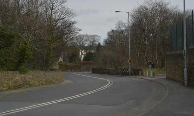
Image: © habiloid Taken: 22 Feb 2020
Leeds Road makes a chicane over a bridge crossing the route of a disused railway that used to run between Bradford and Shipley via Idle.
Images are licensed for reuse under creativecommons.org/licenses/by-sa/2.0
Image Location
Latitude
53.842536
Longitude
-1.731568