Potomac Pond, Gunnersbury Park
Introduction
The photograph on this page of Potomac Pond, Gunnersbury Park by David Hawgood as part of the Geograph project.
The Geograph project started in 2005 with the aim of publishing, organising and preserving representative images for every square kilometre of Great Britain, Ireland and the Isle of Man.

There are currently over 7.5m images from over 14,400 individuals and you can help contribute to the project by visiting https://www.geograph.org.uk
Potomac Pond, Gunnersbury Park
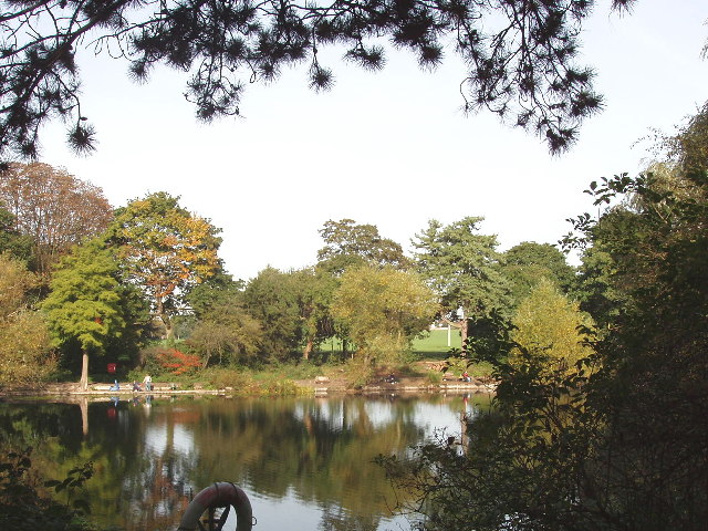
Image: © David Hawgood Taken: 9 Oct 2005
Originally a pit for digging clay, used to make chimney pots, tiles, flower pots and drain pipes. It was added to Gunnersbury Park in 1861 and landscaped as a boating lake. It is now used as a fishing lake. It may be named after the Potomac River in the U.S.A.
Images are licensed for reuse under creativecommons.org/licenses/by-sa/2.0
Image Location


Leaflet Map data © OpenStreetMap
Latitude
51.492994
Longitude
-0.291587