A bit of flood plain
Introduction
The photograph on this page of A bit of flood plain by Richard Sutcliffe as part of the Geograph project.
The Geograph project started in 2005 with the aim of publishing, organising and preserving representative images for every square kilometre of Great Britain, Ireland and the Isle of Man.

There are currently over 7.5m images from over 14,400 individuals and you can help contribute to the project by visiting https://www.geograph.org.uk
A bit of flood plain
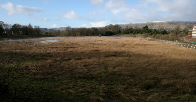
Image: © Richard Sutcliffe Taken: 23 Feb 2020
This area of grassland is part of the original floodplain of the River Kelvin, just out of sight behind the trees. While adjacent areas have been built on and protected by bunds, this area is still able to flood when water levels are high, as has just happened after Storm Dennis.
Images are licensed for reuse under creativecommons.org/licenses/by-sa/2.0
Image Location
Latitude
55.944745
Longitude
-4.150387