Bedwas Colliery - Pithead towers
Introduction
The photograph on this page of Bedwas Colliery - Pithead towers by Colin Park as part of the Geograph project.
The Geograph project started in 2005 with the aim of publishing, organising and preserving representative images for every square kilometre of Great Britain, Ireland and the Isle of Man.

There are currently over 7.5m images from over 14,400 individuals and you can help contribute to the project by visiting https://www.geograph.org.uk
Bedwas Colliery - Pithead towers
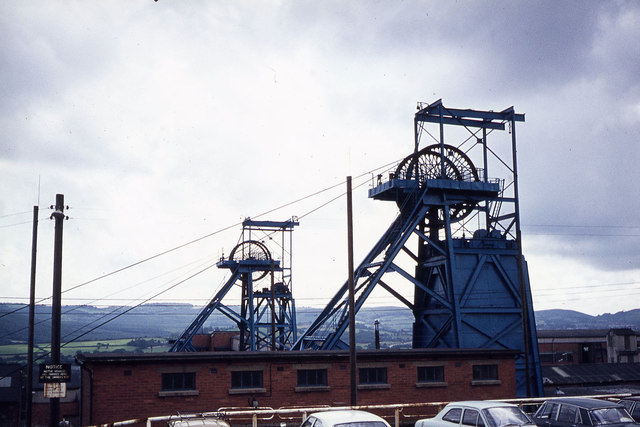
Image: © Colin Park Taken: 19 Jul 1975
This photograph was taken on an open day which included descending one of the shafts to over 1400 feet below sea level.
Images are licensed for reuse under creativecommons.org/licenses/by-sa/2.0
Image Location
Latitude
51.596523
Longitude
-3.188254