Chitterne ways [6]
Introduction
The photograph on this page of Chitterne ways [6] by Michael Dibb as part of the Geograph project.
The Geograph project started in 2005 with the aim of publishing, organising and preserving representative images for every square kilometre of Great Britain, Ireland and the Isle of Man.

There are currently over 7.5m images from over 14,400 individuals and you can help contribute to the project by visiting https://www.geograph.org.uk
Chitterne ways [6]
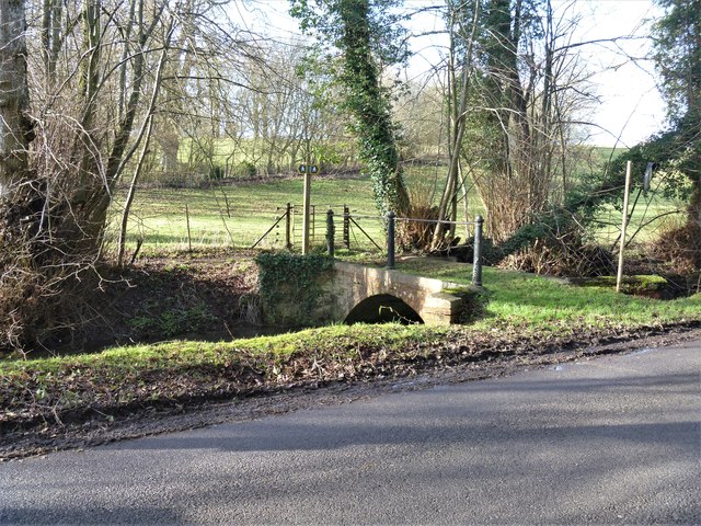
Image: © Michael Dibb Taken: 29 Jan 2020
The bridge over Chitterne Brook gives access to the public footpath which runs alongside the far side of the brook. Another footpath leads to The Manor and St Marys. Chitterne village lies in the middle of Salisbury Plain. Much of the parish is owned by the Ministry of Defence within the Salisbury Plain Training Area. The Imber firing range is to the north and the Copehill Down training area to the east. The Chitterne Brook, a small tributary of the River Wylye, flows through the village. There is a fine history of the village at: http://www.chitterne.com/history/index.html
Images are licensed for reuse under creativecommons.org/licenses/by-sa/2.0
Image Location
Latitude
51.195938
Longitude
-2.013832