Mulehouse Lane, Outlane
Introduction
The photograph on this page of Mulehouse Lane, Outlane by Phil Champion as part of the Geograph project.
The Geograph project started in 2005 with the aim of publishing, organising and preserving representative images for every square kilometre of Great Britain, Ireland and the Isle of Man.

There are currently over 7.5m images from over 14,400 individuals and you can help contribute to the project by visiting https://www.geograph.org.uk
Mulehouse Lane, Outlane
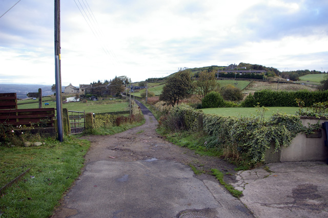
Image: © Phil Champion Taken: 17 Oct 2007
On the Kirklees / Calderdale border, looking along the bridleway into Calderdale
Images are licensed for reuse under creativecommons.org/licenses/by-sa/2.0
Image Location
Latitude
53.65842
Longitude
-1.869831