Flooded field
Introduction
The photograph on this page of Flooded field by Richard Sutcliffe as part of the Geograph project.
The Geograph project started in 2005 with the aim of publishing, organising and preserving representative images for every square kilometre of Great Britain, Ireland and the Isle of Man.

There are currently over 7.5m images from over 14,400 individuals and you can help contribute to the project by visiting https://www.geograph.org.uk
Flooded field
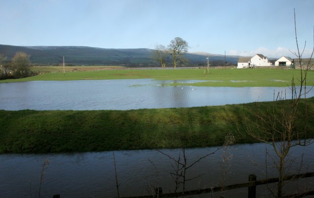
Image: © Richard Sutcliffe Taken: 23 Feb 2020
Following very heavy rain the previous day, the River Kelvin (in the foreground) broke its banks and flooded many fields in the area. Bridgend Farm is on the right.
Images are licensed for reuse under creativecommons.org/licenses/by-sa/2.0
Image Location
Latitude
55.948642
Longitude
-4.132985