Daleside at Braidley
Introduction
The photograph on this page of Daleside at Braidley by Gordon Hatton as part of the Geograph project.
The Geograph project started in 2005 with the aim of publishing, organising and preserving representative images for every square kilometre of Great Britain, Ireland and the Isle of Man.

There are currently over 7.5m images from over 14,400 individuals and you can help contribute to the project by visiting https://www.geograph.org.uk
Daleside at Braidley
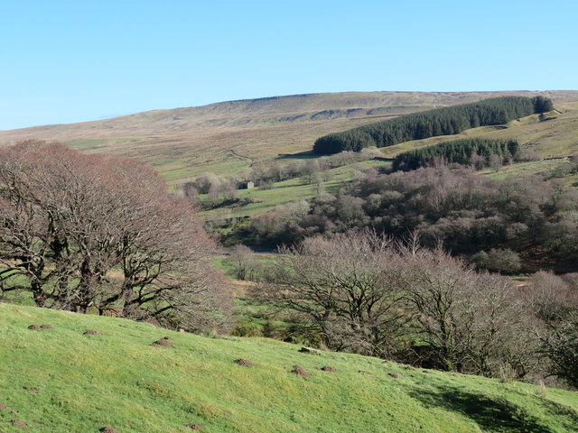
Image: © Gordon Hatton Taken: 23 Feb 2020
Looking across Coverdale at Braidley towards a block of conifers alongside Harkers Gill. Above and beyond that rises Arkleside Moor.
Images are licensed for reuse under creativecommons.org/licenses/by-sa/2.0
Image Location


Leaflet Map data © OpenStreetMap
Latitude
54.213654
Longitude
-1.949517