The Cover at Arkleside Bridge
Introduction
The photograph on this page of The Cover at Arkleside Bridge by Gordon Hatton as part of the Geograph project.
The Geograph project started in 2005 with the aim of publishing, organising and preserving representative images for every square kilometre of Great Britain, Ireland and the Isle of Man.

There are currently over 7.5m images from over 14,400 individuals and you can help contribute to the project by visiting https://www.geograph.org.uk
The Cover at Arkleside Bridge
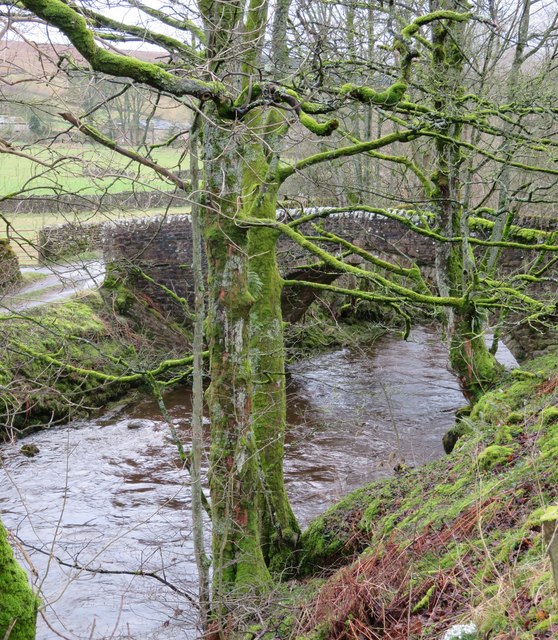
Image: © Gordon Hatton Taken: 23 Feb 2020
The stone arched bridge over the river gives access to the few buildings in the hamlet of Arkleside.
Images are licensed for reuse under creativecommons.org/licenses/by-sa/2.0
Image Location


Leaflet Map data © OpenStreetMap
Latitude
54.223082
Longitude
-1.933095