Route of former Selkirk branch line, Galashiels
Introduction
The photograph on this page of Route of former Selkirk branch line, Galashiels by Jim Barton as part of the Geograph project.
The Geograph project started in 2005 with the aim of publishing, organising and preserving representative images for every square kilometre of Great Britain, Ireland and the Isle of Man.

There are currently over 7.5m images from over 14,400 individuals and you can help contribute to the project by visiting https://www.geograph.org.uk
Route of former Selkirk branch line, Galashiels
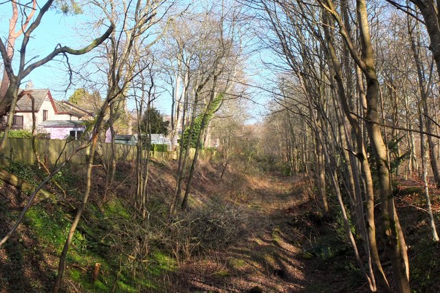
Image: © Jim Barton Taken: 23 Feb 2020
The Selkirk branch of the North British line left the Waverley Route at Selkirk Junction in Netherdale, crossed the Gala Water and ran SW on the west bank of the Tweed.
Images are licensed for reuse under creativecommons.org/licenses/by-sa/2.0
Image Location
Latitude
55.602145
Longitude
-2.783999