Kilgetty Lane through Stepaside
Introduction
The photograph on this page of Kilgetty Lane through Stepaside by Richard Law as part of the Geograph project.
The Geograph project started in 2005 with the aim of publishing, organising and preserving representative images for every square kilometre of Great Britain, Ireland and the Isle of Man.

There are currently over 7.5m images from over 14,400 individuals and you can help contribute to the project by visiting https://www.geograph.org.uk
Kilgetty Lane through Stepaside
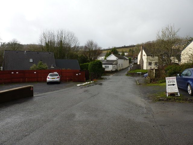
Image: © Richard Law Taken: 24 Dec 2019
The lane, despite its name, does not access Kilgetty; instead it runs up the hill to Kilgetty Farm, and then on Cleggar's Castle near Templeton.
Images are licensed for reuse under creativecommons.org/licenses/by-sa/2.0
Image Location
Latitude
51.737707
Longitude
-4.698399