Hall, Chilsworthy
Introduction
The photograph on this page of Hall, Chilsworthy by Derek Harper as part of the Geograph project.
The Geograph project started in 2005 with the aim of publishing, organising and preserving representative images for every square kilometre of Great Britain, Ireland and the Isle of Man.

There are currently over 7.5m images from over 14,400 individuals and you can help contribute to the project by visiting https://www.geograph.org.uk
Hall, Chilsworthy
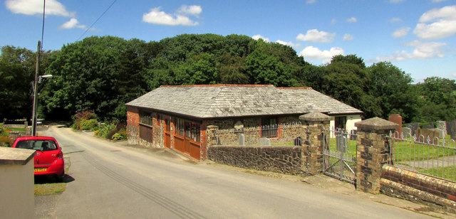
Image: © Derek Harper Taken: 21 Jun 2019
Mapped as a hall, but if it was once the village hall its function has been usurped by a hall-cum-post office at the other end of the village. It stands on Chapel Lane alongside the cemetery and the Methodist chapel.
Images are licensed for reuse under creativecommons.org/licenses/by-sa/2.0
Image Location
Latitude
50.835763
Longitude
-4.377424