Freshfields farm shop, Westfield Lane (A28)
Introduction
The photograph on this page of Freshfields farm shop, Westfield Lane (A28) by Patrick Roper as part of the Geograph project.
The Geograph project started in 2005 with the aim of publishing, organising and preserving representative images for every square kilometre of Great Britain, Ireland and the Isle of Man.

There are currently over 7.5m images from over 14,400 individuals and you can help contribute to the project by visiting https://www.geograph.org.uk
Freshfields farm shop, Westfield Lane (A28)
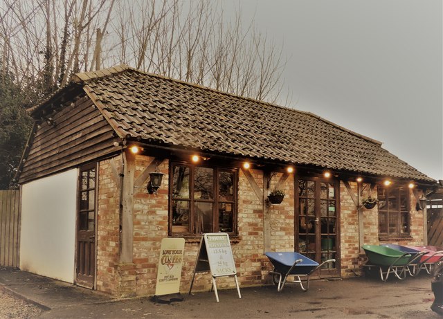
Image: © Patrick Roper Taken: 30 Jan 2020
The farm shop next to the Freshfields animal feed store on the west of the A28 south of Westfield village.
Images are licensed for reuse under creativecommons.org/licenses/by-sa/2.0
Image Location
Latitude
50.903054
Longitude
0.572265