Rhude Cross
Introduction
The photograph on this page of Rhude Cross by Derek Harper as part of the Geograph project.
The Geograph project started in 2005 with the aim of publishing, organising and preserving representative images for every square kilometre of Great Britain, Ireland and the Isle of Man.

There are currently over 7.5m images from over 14,400 individuals and you can help contribute to the project by visiting https://www.geograph.org.uk
Rhude Cross
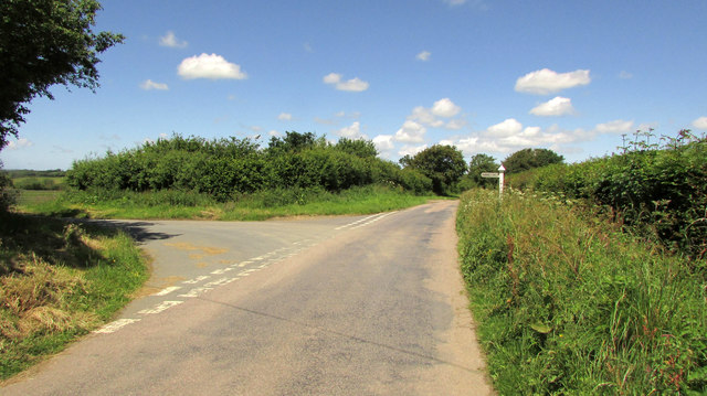
Image: © Derek Harper Taken: 21 Jun 2019
A T junction out in the wilds of northwest Devon. The gateway visible on the left turn was where Image] and Image] were taken. The main lane is followed by the parish boundary between Holsworthy Hamlets (left) and Pyworthy.
Images are licensed for reuse under creativecommons.org/licenses/by-sa/2.0
Image Location
Latitude
50.838186
Longitude
-4.390899