Field by Rhude Cross
Introduction
The photograph on this page of Field by Rhude Cross by Derek Harper as part of the Geograph project.
The Geograph project started in 2005 with the aim of publishing, organising and preserving representative images for every square kilometre of Great Britain, Ireland and the Isle of Man.

There are currently over 7.5m images from over 14,400 individuals and you can help contribute to the project by visiting https://www.geograph.org.uk
Field by Rhude Cross
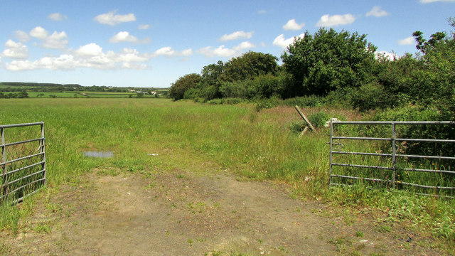
Image: © Derek Harper Taken: 21 Jun 2019
From a gateway a few metres west of the junction, with farms at West Ugworthy and Mountjoy's Farm visible ahead, both in Image
Images are licensed for reuse under creativecommons.org/licenses/by-sa/2.0
Image Location
Latitude
50.839276
Longitude
-4.390387