Elsington Road, Jesmond
Introduction
The photograph on this page of Elsington Road, Jesmond by Robert Graham as part of the Geograph project.
The Geograph project started in 2005 with the aim of publishing, organising and preserving representative images for every square kilometre of Great Britain, Ireland and the Isle of Man.

There are currently over 7.5m images from over 14,400 individuals and you can help contribute to the project by visiting https://www.geograph.org.uk
Elsington Road, Jesmond
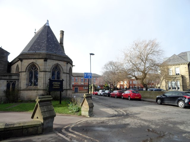
Image: © Robert Graham Taken: 10 Feb 2020
This short road forms the centre of the Brandling Village area of the suburb of Jesmond. On the left here is the Parish Church, with the Royal Grammar School in the centre and Lifton House on the right. These are all notable late 19th century buildings.
Images are licensed for reuse under creativecommons.org/licenses/by-sa/2.0
Image Location
Latitude
54.983195
Longitude
-1.606982